The right nutrients.
In the right place.
At the right time.
YVY uses satellite data and Artificial Intelligence to help growers reduce waste, increase yield, and make smarter fertilization decisions.
05.12.2026
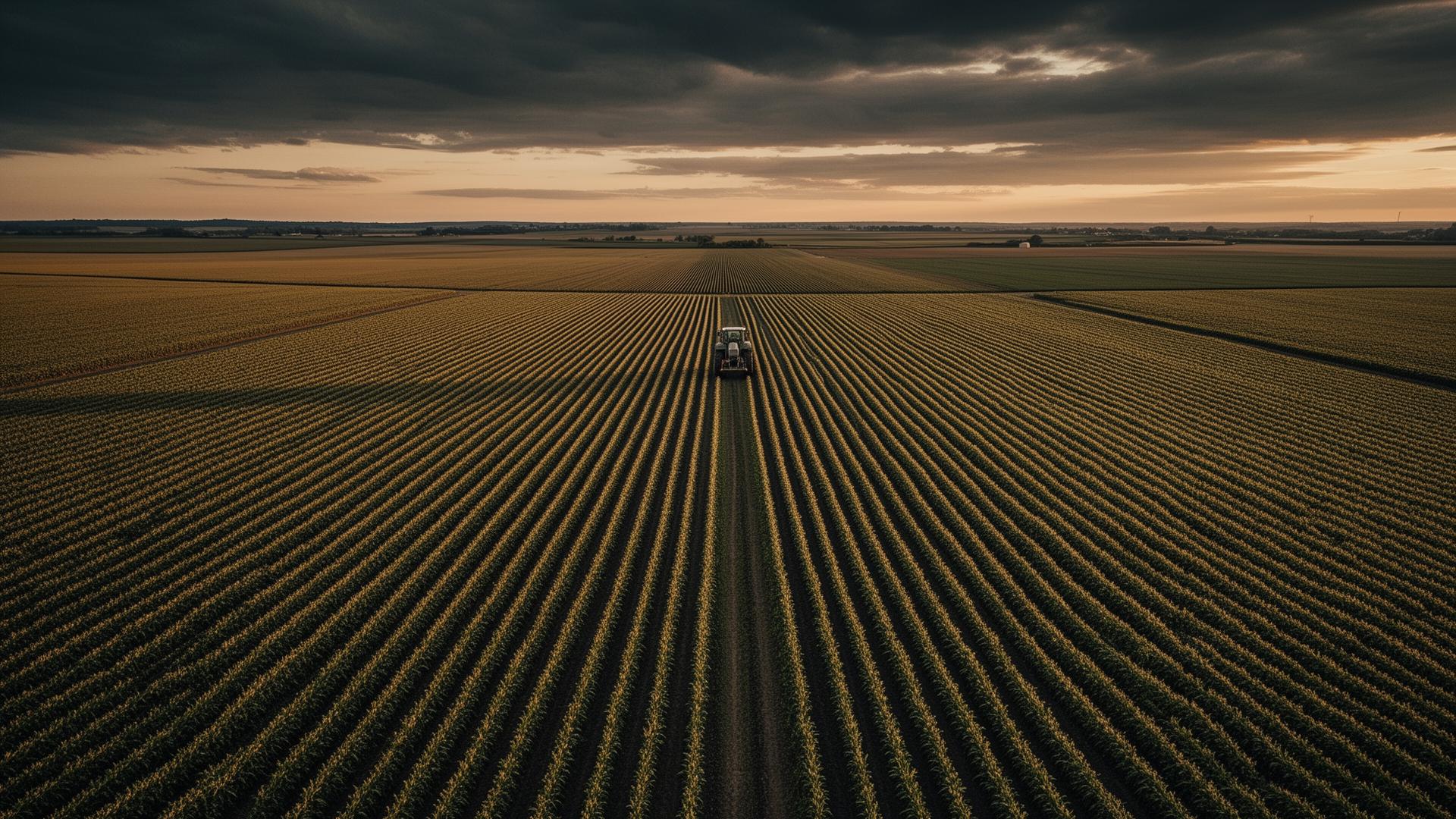
Fertilizers are among the largest costs in modern agriculture.
Over-application
Investment wasted on nutrients the crop never absorbs.
Weather losses
Rain and evaporation dissipate part of every application.
High costs
Fertilizers can reach 40% of a season's variable cost.
Environmental impact
Leaching and emissions compromise soil, water and air.
From orbit to decision in the field, in four steps.
Satellite Data
Multispectral Copernicus Sentinel-2 imagery with constant revisit.
AI Analysis
Advanced models interpret NDVI, NDRE, climate and soil per field.
Nutrient Intelligence
Precise maps of the real needs of every zone in the field.
Recommendations
Actionable prescriptions: dose, timing and exact location.
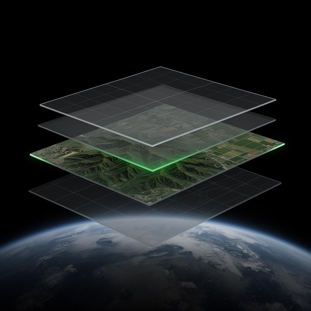
Every decision is the fusion of space observation, agronomic models and machine learning.
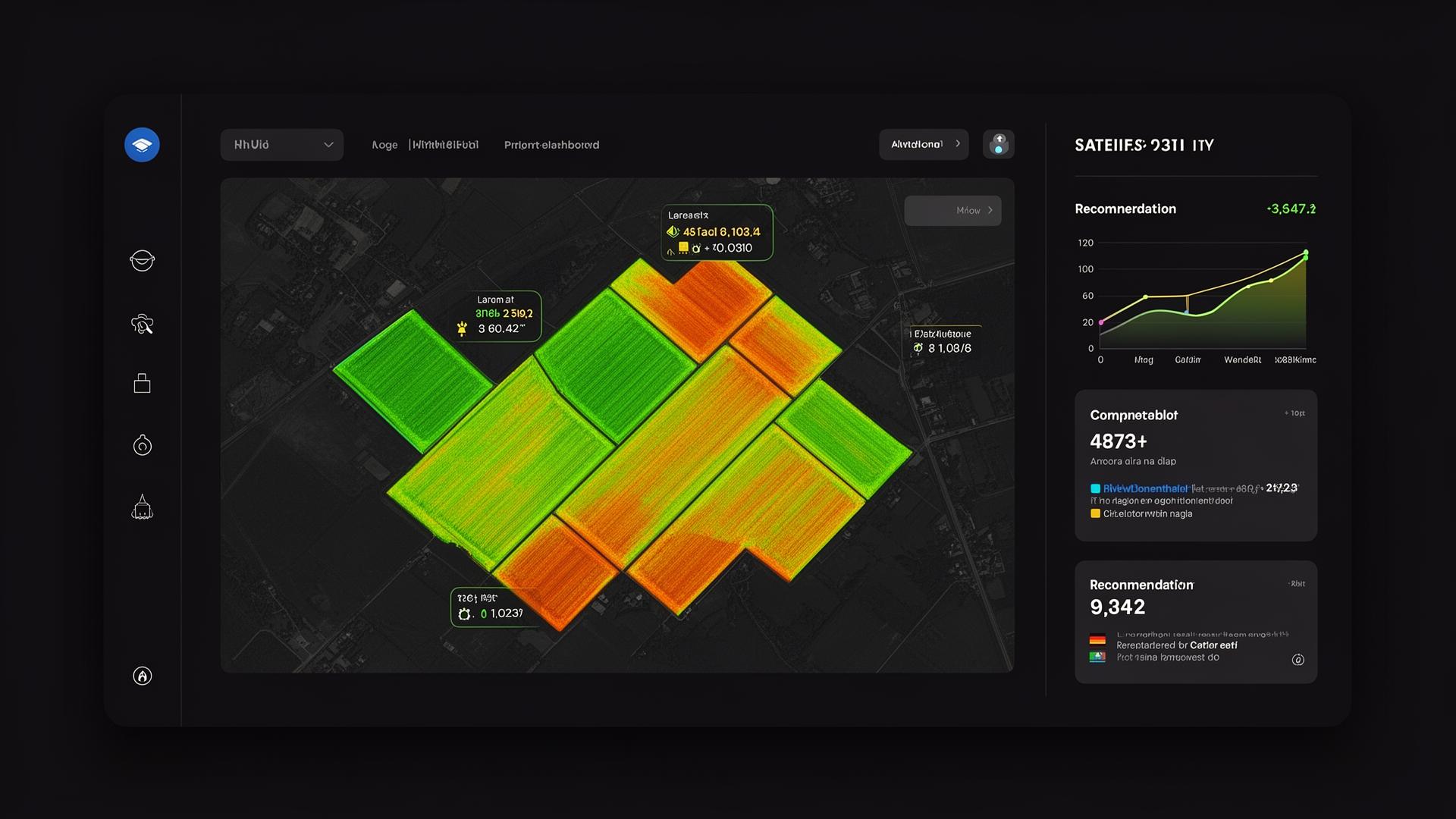
A platform built for decisions, not dashboards.
Early stress detection
Spot nutrient deficiencies before they become visible.
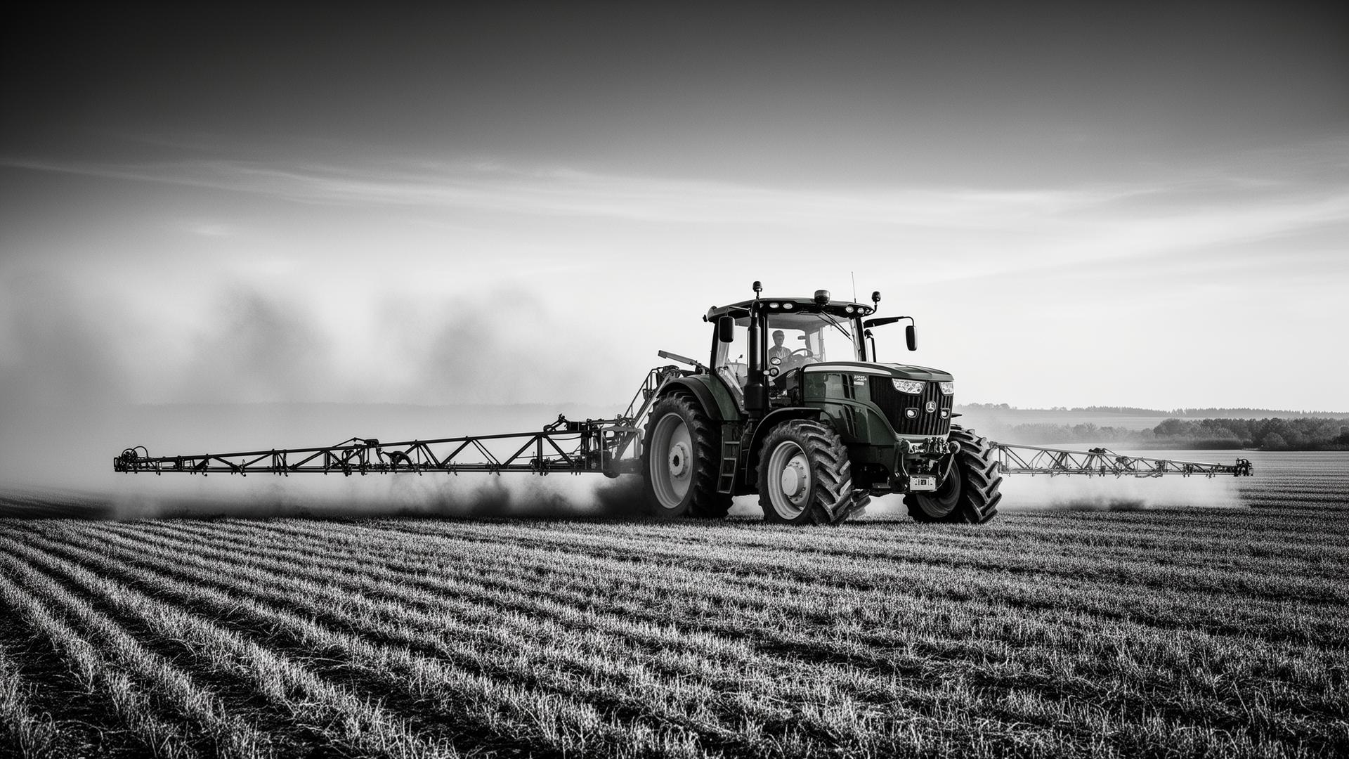
Fertilization recommendations
Tailored prescriptions per field, crop and growth stage.
Satellite monitoring
Continuous tracking with multispectral time series.
Integrated climate analysis
Forecast and historical weather applied to planning.
Field-level intelligence
Differentiated management at scale — every zone, its optimal call.
Yield optimization
Maximize yield and margin with data-driven decisions.
Maps, nutrient status and prescriptions — on a single screen.
Results that show up at harvest — and on the balance sheet.
Indicators observed in real, large-scale operations using YVY fertilization intelligence.
The gap between what the crop needs and what it gets — eliminated.
An integrated Earth observation ecosystem.

Turn satellite data into
smarter farming decisions.
The next generation of precision fertilization starts here.